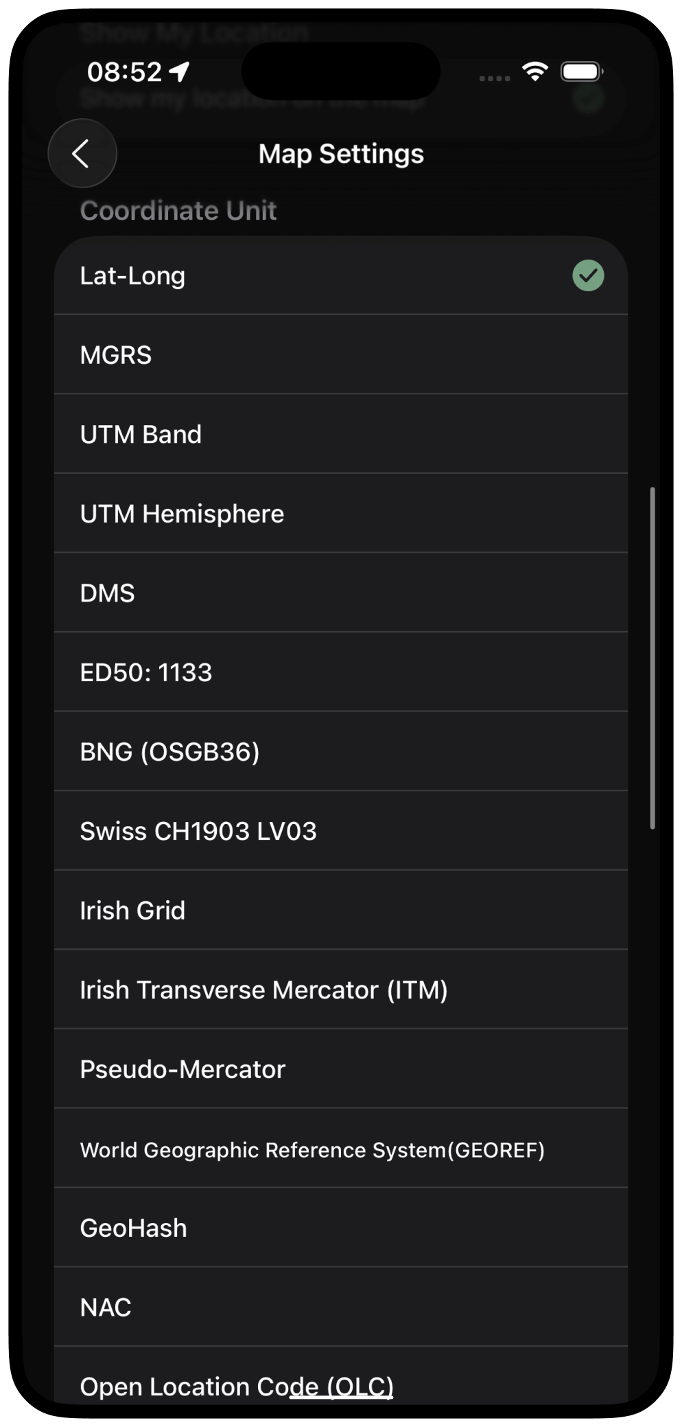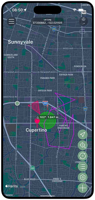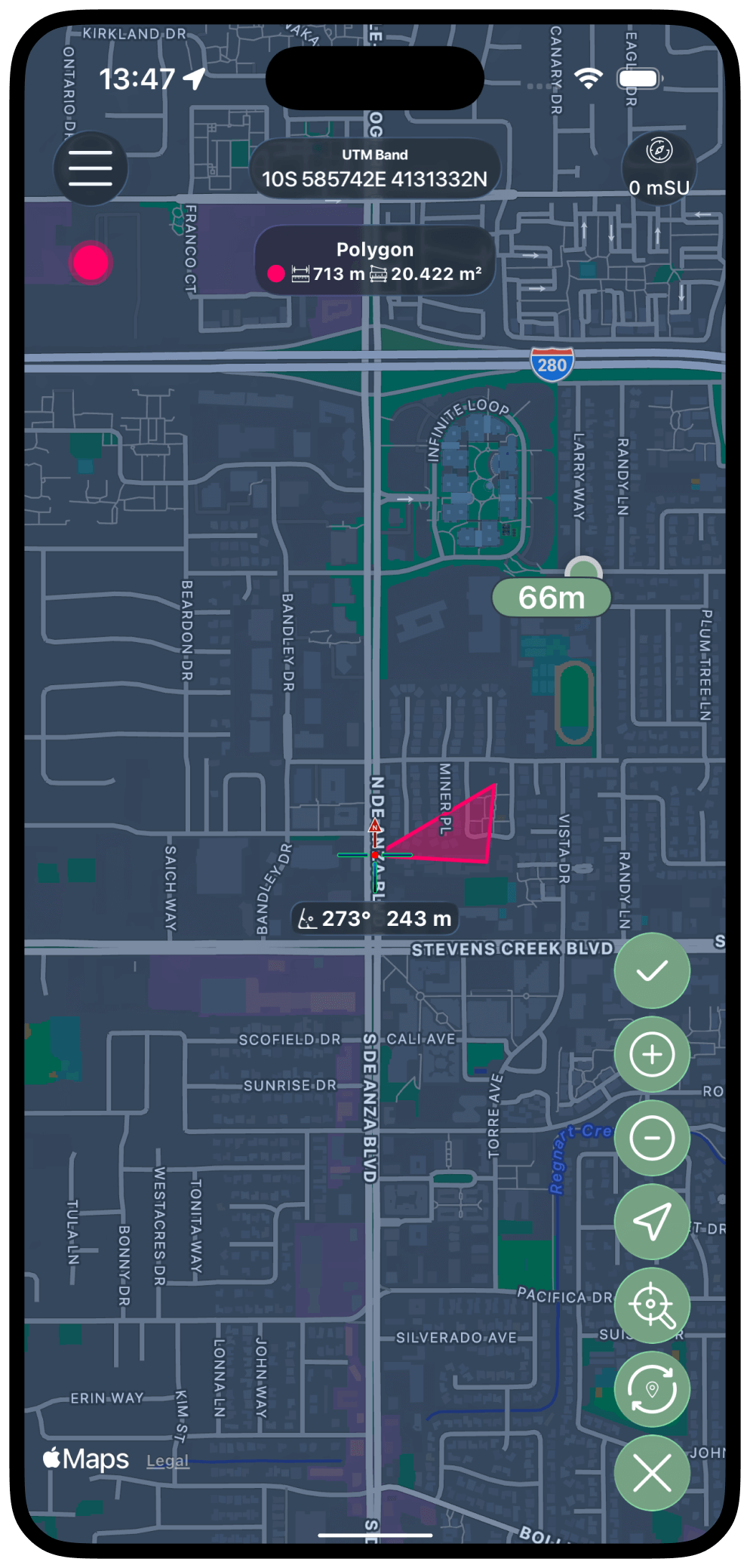
Work with all major coordinate systems
LUC supports Lat-Long, MGRS, UTM (Band & Hemisphere), DMS, ED50, BNG (OSGB36), SwissGrid (CH1903), Irish Grid, ITM, Pseudo-Mercator, GEOREF, GeoHash, NAC, OLC, and Maidenhead Locator. Convert instantly between formats with precision trusted by surveyors, GIS experts, and outdoor professionals.